Background for protection
The objective of the protection is to secure important migratory routes for the wild reindeer in the mountainous area between Kvanndalen Protected Landscape and Dyraheio Protected Landscape.
The heritage values in Holmavassåno are therefore particularly related to the area’s function as a migratory corridor for the wild reindeer population in Setesdal Vesthei – Ryfylkeheiane.
During the summer, the biotope protection area forms an important link between the areas in Setesdal Vesthei-Ryfylkeheiane and Dyraheio Protected Landscape and the areas in Kvanndalen valley and Telemark. Terrain formations and disturbances from human activity further west make Holmavassåno a natural migratory route. During the winter, the wild reindeer walk across the ice on Holmavatnet lake.
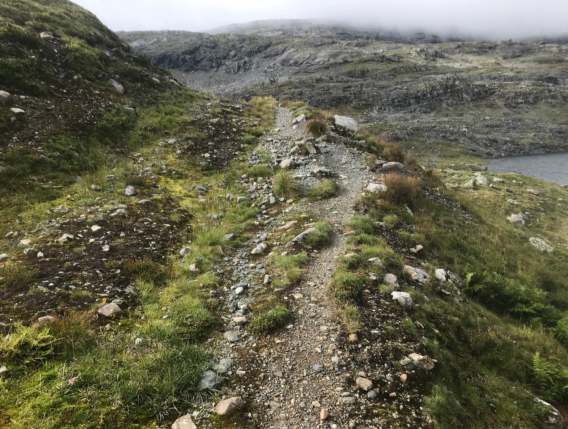
Even though the migratory routes in the biotope protection area are still used by the wild reindeer, the area is greatly affected by technical encroachments and human activity. Tourist trails, construction roads, reservoirs and power lines all create a barrier effect. This may be a contributing factor why the nursery herds have hardly used these areas during the summer over the past 50 years.
Plant life and wildlife
Gravetjønnuten, centrally located in the biotope protection area, is a very important winter grazing area for the wild reindeer. Both nursery herds and herds of bulls migrate to the area during the late autumn. The female reindeer migrate to the southeast towards the calving grounds in the spring, but some of the bull reindeer remain throughout the summer. During the autumn, migrating bulls travel through the area from the west to the east. Large parts of Holmavassåno Biotope Protection Area consist of basalt and other relatively hard volcanic rocks. In these areas, the vegetation is therefore relatively species-poor and consists of species that do not require many nutrients. On the other hand, the top of Gravetjørnnuten mountain consists of phyllite where the vegetation is much richer.

Past use of the area
Holmavassåno Biotope Protection Area is home to a large number of automatically protected cultural monuments, as well as more modern cultural heritage sites that have significant heritage value. This indicates that the area has long been important in connection with the hunting and trapping of wild reindeer. Sites dating back to the Stone Age have been recorded to the north of Sandvatnet lake, there are two pitfall traps in Naustdalen valley and another pitfall trap has been located in Sandvatnet lake. Several overhanging rock shelters that were in use from the end of the 18th century have also been recorded in the area. One of the most important routes between Telemark and Suldal also passed through the area. The road ran between Flothyl and Roalkvam and was frequently used until the end of the 19th century. In Naustdalen valley, visitors will also find the old foundations of a mountain lodge that Rogaland County built in the 1830s.

Current use
Holmavassåno is part of the Sandvass grazing area and has a 100 year old history connected to summer sheep grazing. Holmavassåno continues to be an important grazing area for sheep, and approximately 200-300 sheep and lambs grazed in the area in 2013.
Stavanger Trekking Association’s Holmevasshytta cabin is located at Fitjaflatene, approximately 1 km east of the protected border. From Holmevasshytta cabin, the trekking route runs through the protected area to Sandvatnet lake. An unmarked trail south to Sloaros also runs straight through the protected area. During winter, both the staked route between Sloaros and Holmavasshytta cabin and the one between
Holmevasshytta cabin and Bleskestadmoen cross the ice that has formed on Holmavatnet lake. The latter trail runs further on through the protected area along the line of power lines and across the ice on Sandvatnet lake to Sandvassdammen. Holmevasshytta cabin has approximately 800 overnight stays a year, 500 of which are in the summer and 300 in the winter. There are approximately 700 overnight stays a year at Sloaros. In terms of tourist activity in 2019 at Holmavassåno, approximately 150-200 people hiked along the unmarked tourist trail in the summer, and approximately the same number followed the staked trail during the winter.
Wild reindeer and small game hunting take place in the area, and visitors can fish with both rods and nets in Sandvatnet and Holmavatnet lakes.

Sources and further reading
Verneforskrift på Lovdata Forvaltningsplan på verneområdestyrets nettstad Bakka, Tryggve (1997). Stadnamn, vegar og verksemd i Dyraheio. AmS-Varia 16 Bang-Andersen, Sveinung (1983). Kulturminner i Dyraheio. AmS-Varia 12 Bang- Andersen, Sveinung (2004). Reinsdyrgraver i Setesdal Vesthei – analyse av gravenes beliggenhet, byggemåte og brukshistorie. AmS-Varia 40. Arkeologisk museum: Stavanger. Bang- Andersen, Sveinung (2008). De første jegerne i Dyraheio – utnyttelsen av Setesdal Vesthei i steinalder ca 7000-3500 år før nåtid. AmS-Varia 48. Arkeologisk museum: Stavanger. Fylkesmannen i Rogaland (1993). Verneplan for Kvanndalen landskapsvernområde, Dyraheio landskapsvernområde og Holmavassåno biotopvernområde i Suldal kommune, Rogaland. Norconsult (2019). Røldal-Suldal reguleringen. Kartlegging av miljø- og brukerinteresser. Fagtema villrein. Odden, Alf (2020). Villrein og ferdsel i Holmavassåno biotopvernområde og tilgrensande areal. SVR-Notat 1-2020. Strand, Olav m.fl (2012). Villreinens bruk av Setesdalsheiene. Sluttrapport fra GPS merkeprosjektet 2006–2010. NINA Rapport 694
