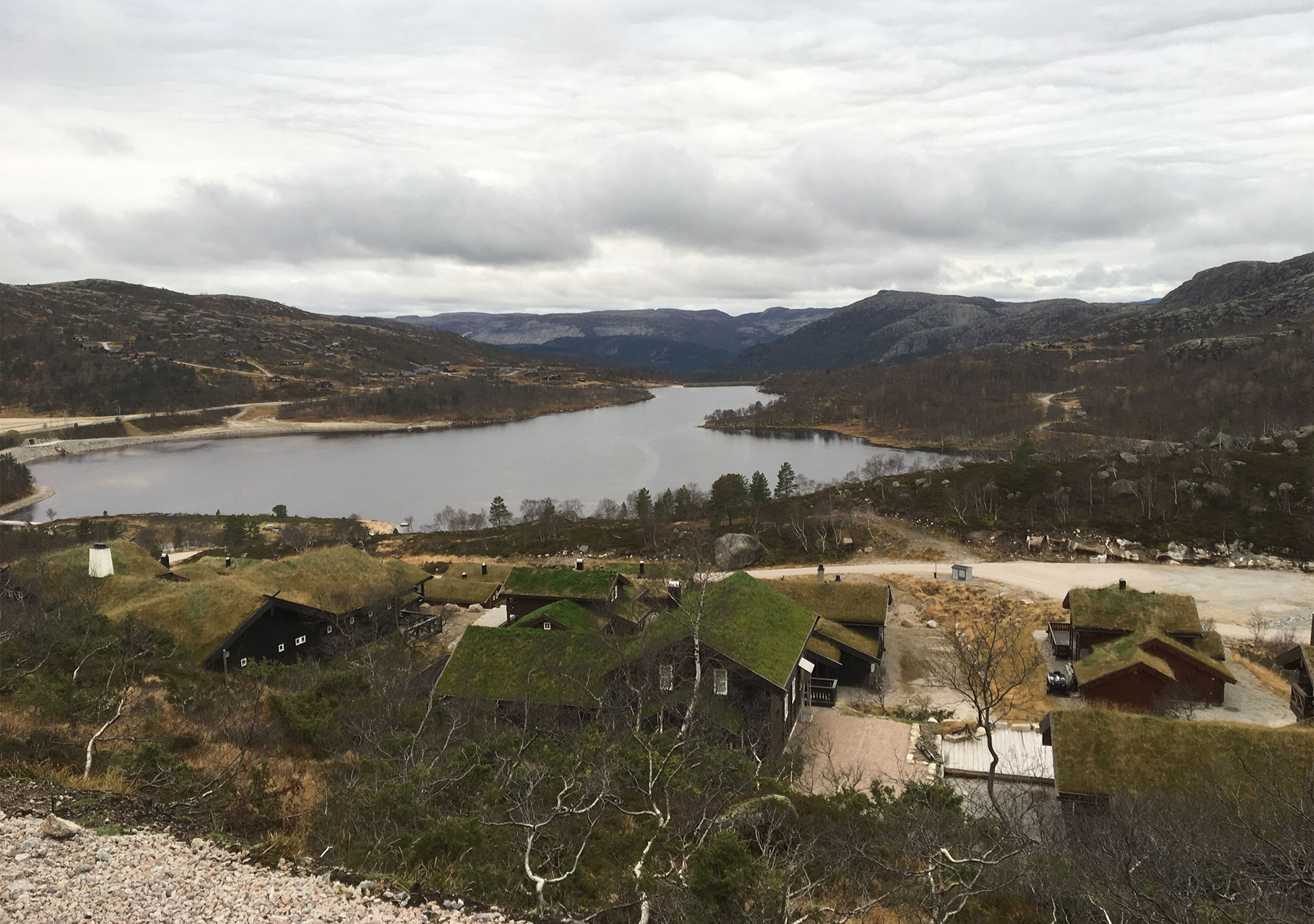
| Title | Address | Description |
|---|---|---|
Nesflaten | JQWX+HW Nesflaten, Norge | |
Hovden | Skisentervegen 12, 4755 Hovden, Norge | |
Kleivaland | Kleivaland, Norge | |
Røssdalen | Røssdalen, Sandnes, Norge | |
Øydegardsstøl | Fv500, 4127 Lysebotn, Norge | |
Eikeskog | Eikeskog, Gjesdal, Norge | |
Ådneram | Aadneram, Norge | |
Brokke | Kvislelivegen 40, 4748 Rysstad, Norge | |
Ljosland | Ljosland, Norge | |
Bortelid | Bortelid, Norge | |
Knaben | Knaben, Norge | |
Hjelmelandsvågen | Hjelmelandsvågen, Norge | |
Berg | 5FMJ+X2 Valle, Norge | |
Høgaleite | VHFP+86V Øvstabøstølen, Norge | |
Håhellervatnet | 9FF924PP+67 | |
Solheimsdalen | VWM3+9FX Sinnes, Norge | |
Langeid | Langeid, Norge |
Nesflaten
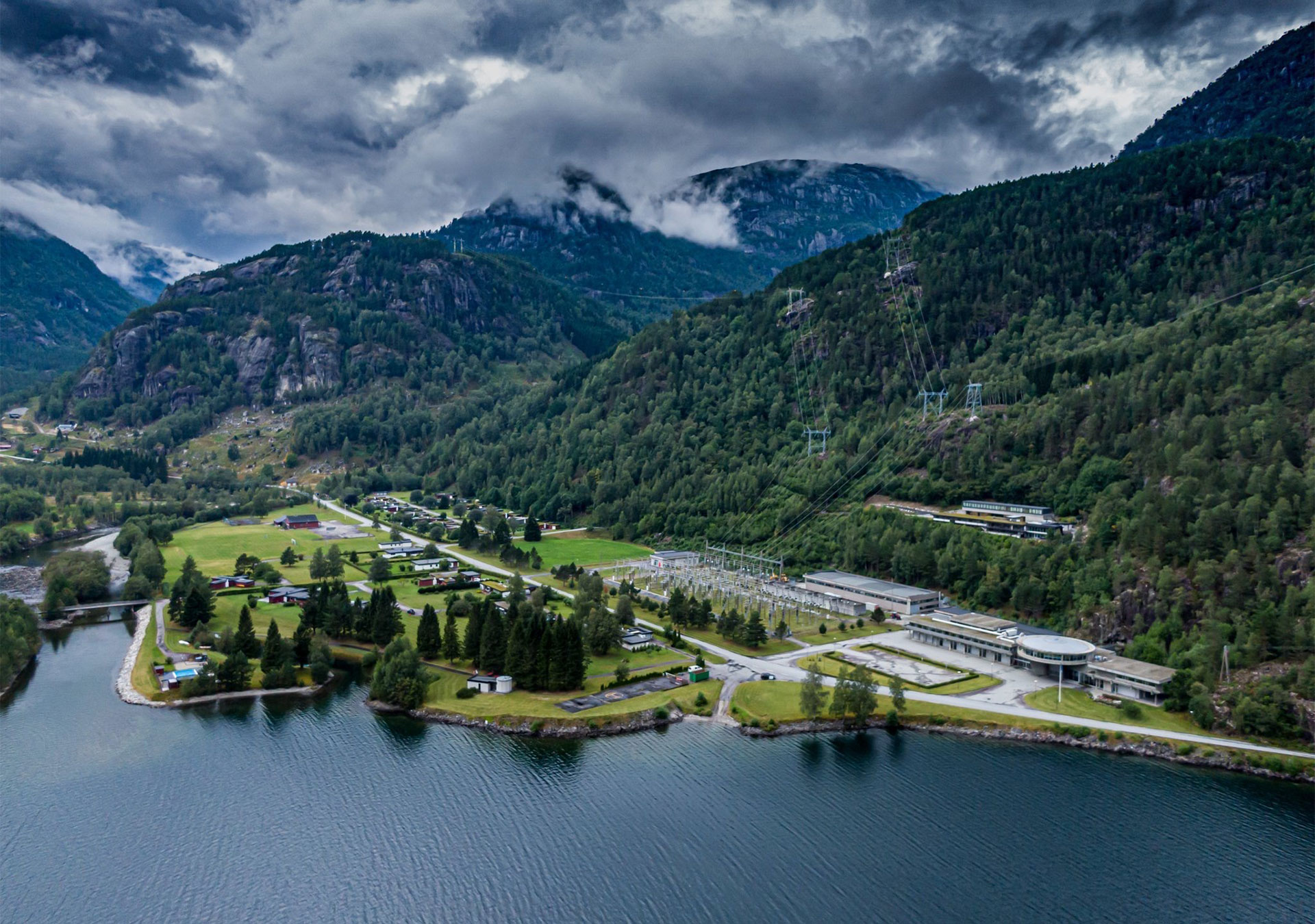
Nesflaten is a small village on the Rv 13 road that runs through Suldal Municipality. Nesflaten has a hotel, a shop and a café that is open during the summer season. SVR has an exhibition on the protected area in the same building as the shop and café. Nesflaten is the approach to Kvanndalen Protected Landscape and the northern parts of Dyraheio Protected Landscape. In these areas, visitors can experience many beautiful mountain farming areas and places that have especially rich flora. Europe’s southernmost wild reindeer population can also be found in these areas. Kvanndalen valley and Dyraheio have many good fishing lakes and good areas to hunt wild reindeer and small game.
Starting point
From Nesflaten, it is a 10 to 30 minute car drive to the starting point for trips into the protected area along Stavanger Trekking Association’s trail network:
- Kvanndalsdammen (15 km). Starting point for the 5 km long trip to Kvanndalen tourist cabin
- Nesflaten – Sandvatnet lake (18 km). Starting point for trips to the tourist cabins at Holmavatnet lake (12 km) and Bleskestadmoen (6 km)
- Bleskestad (8 km). Starting point for the 5 km long trip to Bleskestadmoen tourist cabin
- Mostøl (19 km). Starting point for trips to the tourist cabins at Jonstøl (1 km) and Bleskestadmoen (11 km).
Hovden
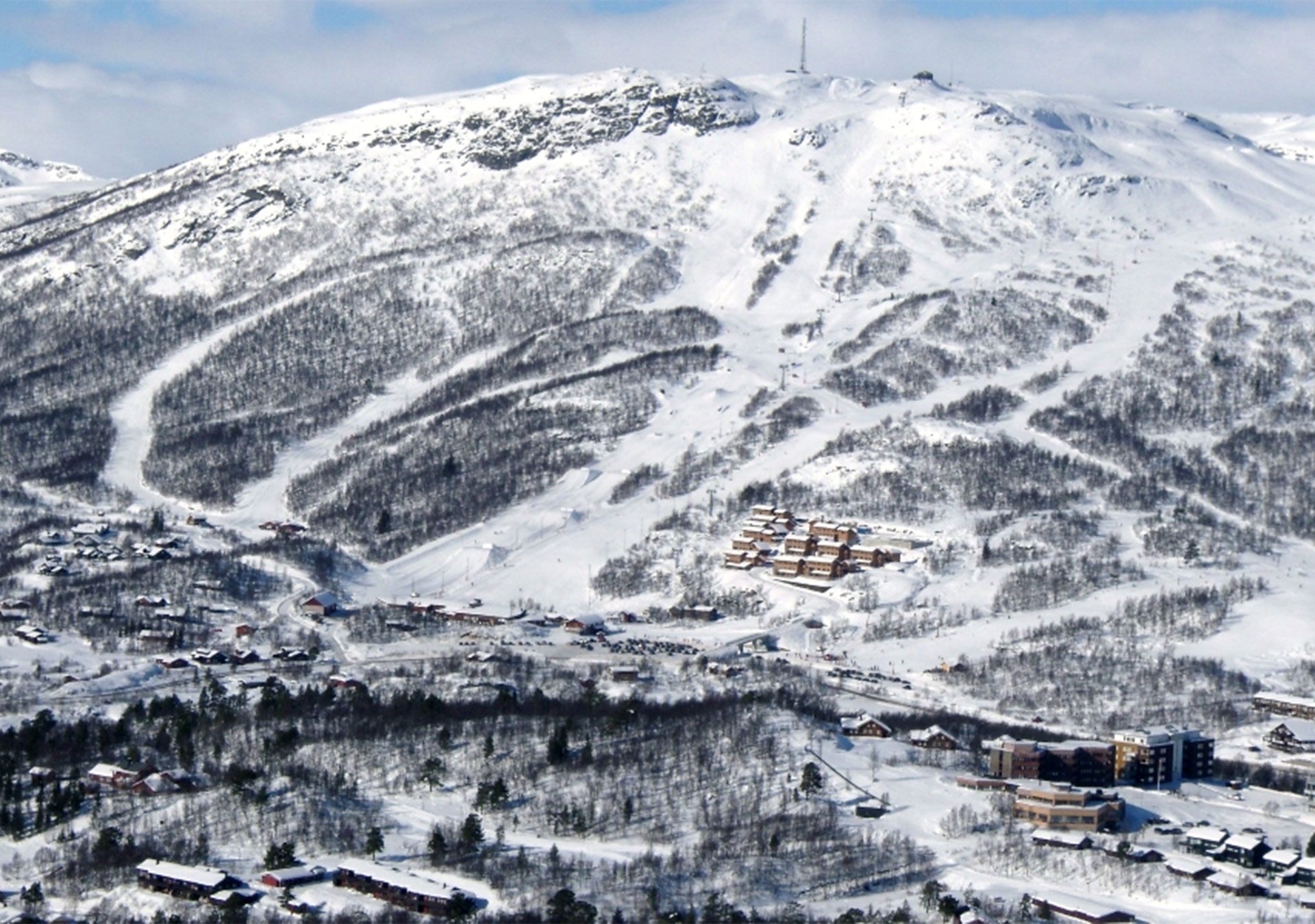
Hovden in Bykle Municipality is one of the largest tourist destinations in the region. There is a large ski lift and an extensive summer and winter trail network. Approximately 2000 cabins have been built at Hovden, and the number of people visiting the area can reach up to 20,000 during the busiest weekends. Hovden is located in the upper part of Setesdal valley, approximately three hours by car from Kristiansand and Arendal. Hovden serves as an important approach to many of the protected areas in SVR. These include the northern parts of Setesdal Vesthei-Ryfylkeheiane Protected Landscape, Hovden Protected Landscape, and Vidmyr and Lislevatn nature reserves. Hovden is also a starting point for trips to Tjørnbrottbu tourist cabin (8 km) at Austheia and Sloaros tourist cabin (12 km) at Vestheia.
There is also a well developed path and trail network in the vicinity of Hovden. The trip to Hovdenuten mountain (1119 masl) is definitely recommended. From the summit, visitors can enjoy fantastic views over the many protected areas. This trail is very well adapted and can also be taken as a round trip.

Hjelmelandsvågen
The village of Hjelmelandsvågen is just a small detour off the Rv 13 road through Hjelmeland Municipality. Hjelmelandsvågen has various shops, accommodation and a tourist information desk. Hjelmelandsvågen serves as an approach to Vormedalsheia Protected Landscape and Lusaheia Protected Landscape. In Vormedalsheia, visitors can experience exciting geological features, beautiful mountain farming areas and places that have especially rich flora. Lusaheia is home to a distinctive high mountain landscape with a lot of bare mountains and many great fishing lakes.
Starting point
From Hjelmeland, it is a 20 to 30 minute car drive to the starting point for trips into the protected area along Stavanger Trekking Association’s trail network:
- Kleivaland (18 km). Starting point for the trip to the meteorite impact site called the Ritland Crater (5 km return trip). Starting point for the trips to the tourist cabins at Melands-Grønahei (11 km) and Trodla-Tysdal (7 km).
- Fundingsland (25 km). Starting point for the trip to Trollgarden moraine ridge (19 km return trip). Starting point for trips to Eidavatn tourist cabin (23 km) and the Lusaheia Protected Landscape.
Berg
Berg is located 5 km west of the junction on the Rv 9 road between Valle and Rysstad in Valle Municipality. It takes approximately 2.5 hours by car to get to Berg from the cities of Arendal and Kristiansand.
Berg is an important approach to the central parts of Setesdal Vesthei-Ryfylkeheiane Protected Landscape and the Norwegian Trekking Association-South’s cabins at Stavskar (7 km) and Bossbu (17 km), as well as the beautiful mountain farming area at Bossvatn lake. The area from Stavskar and further westwards is one of the calving areas for the wild reindeer population in Setesdal-Ryfylke. It is therefore prohibited to visit/travel in this area from 25 April to 31 May.

Røssdalen
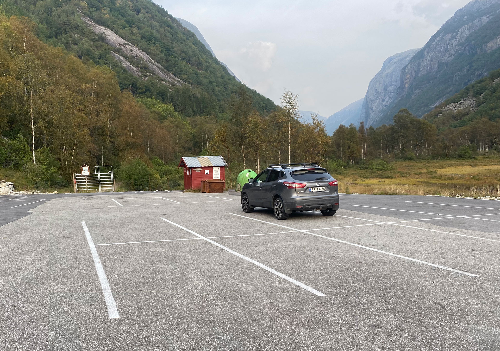
You get to Røssdalen by turning off the Rv13 road and driving 20 km past Forsand to Øvre Espedal. This is the approach to Røssdalen valley and the northwestern parts of Frafjordheiane Protected Landscape. Røssdalen valley offers a fantastic range of experiences. The outer parts of the valley are home to beautiful deciduous forests that create a mosaic with open grasslands, while the dramatic inner valley is comprised of steep hillsides and distinctive landscape features such as Fossajuvet. A partly waymarked trail runs through Røssdalen valley to Stavanger Trekking Association’s Blåfjellenden cabin (14 km).
Øydegardsstøl
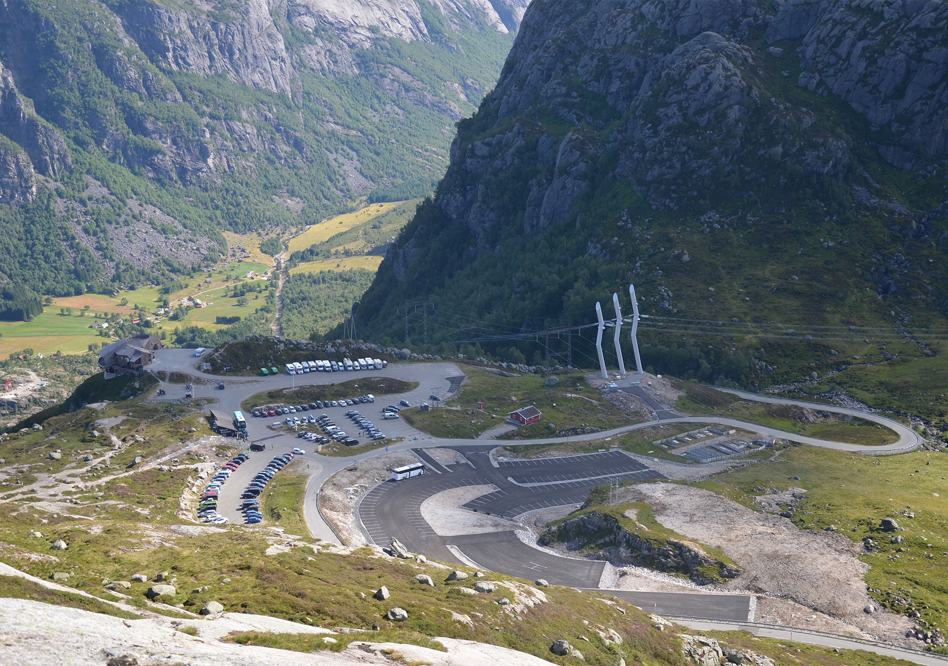
Øydegardsstøl is located in Sandnes Municipality on the county road between Lysebotn and Sirdal. Øydegardsstøl is the starting point for the trip to Kjerag (7 km round trip), and also to the northeastern parts of Frafjordheiane Protected Landscape. This part of Frafjordheiane offers many magnificent experiences. The Kjerag Plateau and the vantage point at Nesatind are located at the top of a 1000 meter high cliff above Lysefjorden. In addition, the Kjeragbolten boulder is a world-famous attraction. A waymarked trail runs from Øydegardsstøl along Lysefjorden to Flørli (23 km), and to Stavanger Trekking Association’s Langavatn cabin (10 km).

Eikeskog
Eikeskog is located at the top of Frafjorddalen valley in Gjesdal Municipality, approximately 12 km or a 20 minute drive from Gilja on county road 45. Eikeskog is mainly an approach for day trips to Månafossen waterfall or Mån, but can also be used as an approach to areas in Fidjadalen valley that are located further in Frafjordheiane Protected Landscape. There is also a waymarked trail that leads to Stavanger Trekking Association’s Blåfjellenden cabin (14 km).
The area’s main attractions include the 92 meter high Månafossen waterfall which is Rogaland County’s highest waterfall, the cultural landscape at Mån Mountain Farm and the magnificent landscape found in Måndalen valley.
Høgaleite
Høgaleite is located along the Rv 45 road (Hunnedalsvegen road) between Gjesdal and Øvre Sirdal. It takes approximately 1 to 1.5 hours to drive from Sandnes or Stavanger. Høgaleite is an important approach to the southern parts of Frafjordheiane Protected Landscape and Bjerkereimsheiane located on the south side of the valley. Høgaleite is an important starting point for trips to Blåfjellenden (8 km) and Sandvatn (12 km) tourist cabins, during both summer and winter.
The varied landscape at Frafjordheiane offers visitors a fantastic range of experiences. There is also a large number of cultural monuments in the area.
Ådneram
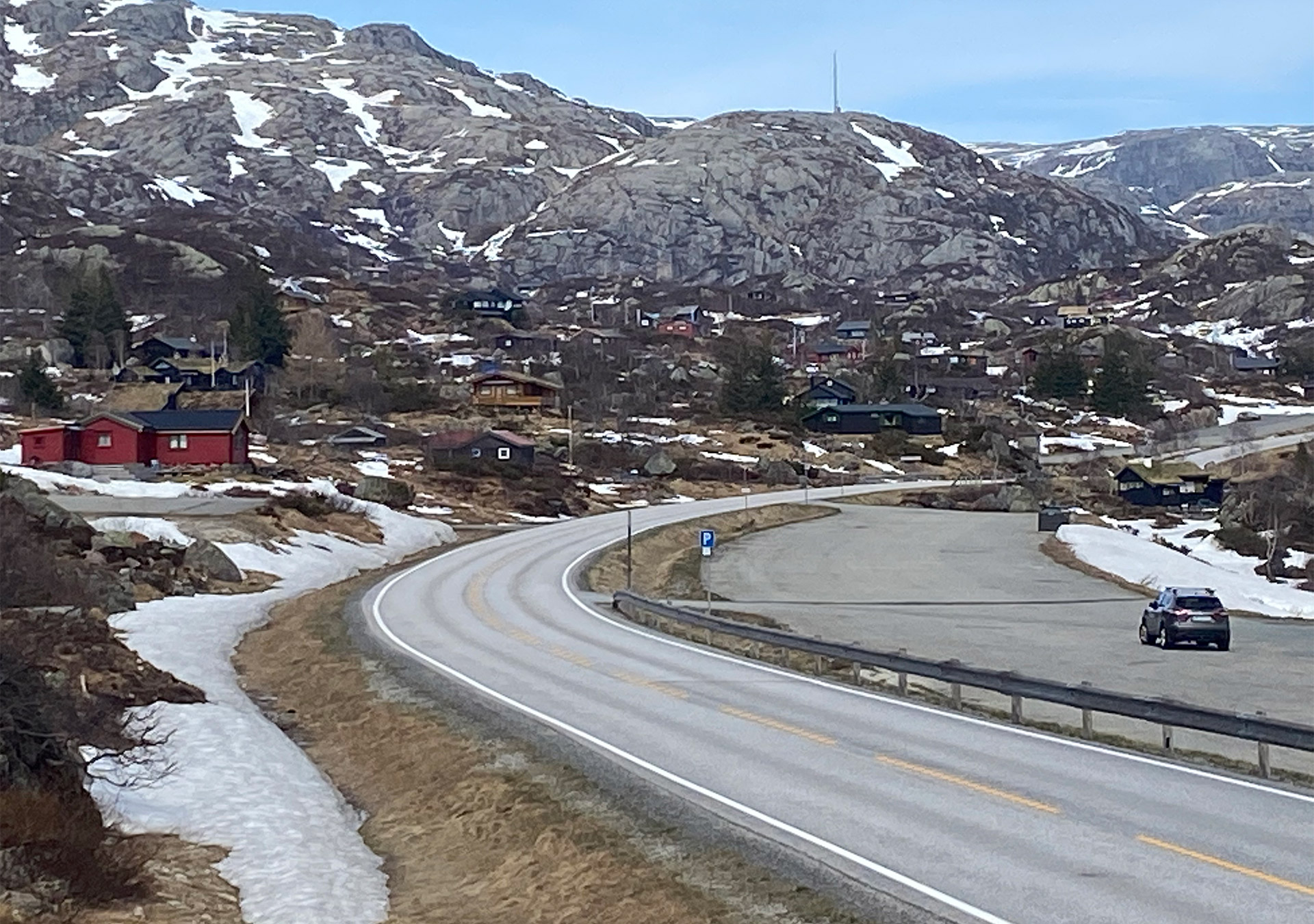
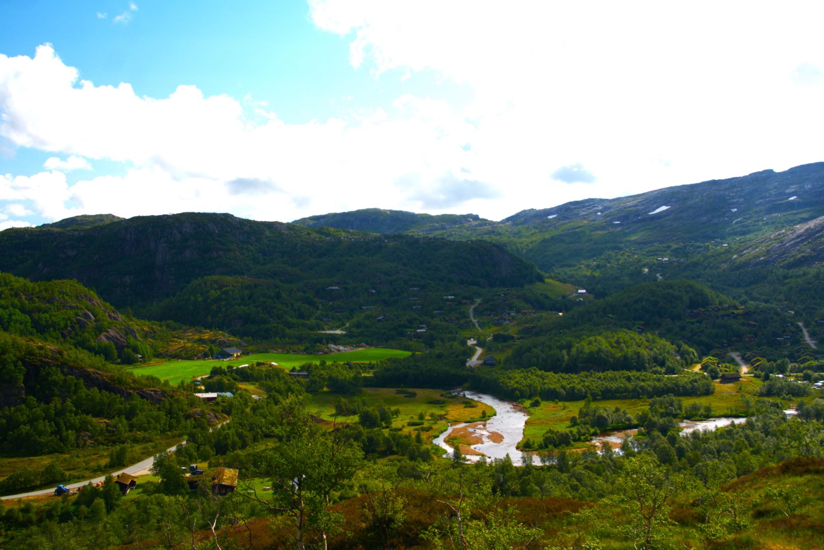
Ådneram is located in the far north of Sirdal valley, approximately 1.5 hours by car from Stavanger. This is an area that receives a lot of visitors during both summer and winter. As many as 30,000 people may visit Øvre Sirdal during the busiest weekends. There are approximately 700 private cabins at Ådneram and this generates a lot of traffic on the Brokke-Suleskardvegen road during the summer. Ådneram is therefore a very important and busy approach to the SVR protected areas. This applies both westwards along Lysevegen road towards Kjerag and Frafjordheiane Protected Landscape, and eastwards along Brokke-Suleskardvegen road to Setesdal and Setesdal Vesthei-Ryfylkeheiane Protected Landscape. Heading north up Flatstøldalen valley from Ådneram, one can also enter the trekking association’s trail network and find Grautheller and Taumevatn tourist cabins.
Håhellervatn
The 42 km long road between Brokke in Valle and Suleskard in Sirdal was opened in 1990, and 22 km of the road run through Setesdal Vesthei-Ryfylkeheiane Protected Landscape. This is a very busy road during peak season, and approximately 80,000 vehicles use it every year when it is open between 20 May and 31 October. Håhellervatn offers day parking and has a picnic area, toilets and an information point. Visitors can also start their trip along a 1.5 km well-adapted nature trail. Along the nature trail, visitors get access to information about the heritage values in the area, and it leads up to a vantage point with great views over Rosskreppfjorden and the surrounding hills.


Brokke
Brokke is located on the Brokke – Suleskardvegen road in Valle Municipality in the middle of Setesdal valley. It takes about 2 hours by car from Kristiansand and Arendal. Brokke is a nice starting point from which to take trips into Setesdal Vesthei-Ryfylkeheiane Protected Landscape during both summer and winter. There are 400 cabins in the area, as well as ski lifts, lighted ski trails, groomed ski trails and many summer hiking trails.
There is a small parking lot at Furestøyl and public toilets. Brokkestøylen café and camping is also located here. There are also climbing routes and Via Ferrata in Løefjell.
Solheimsdalen valley
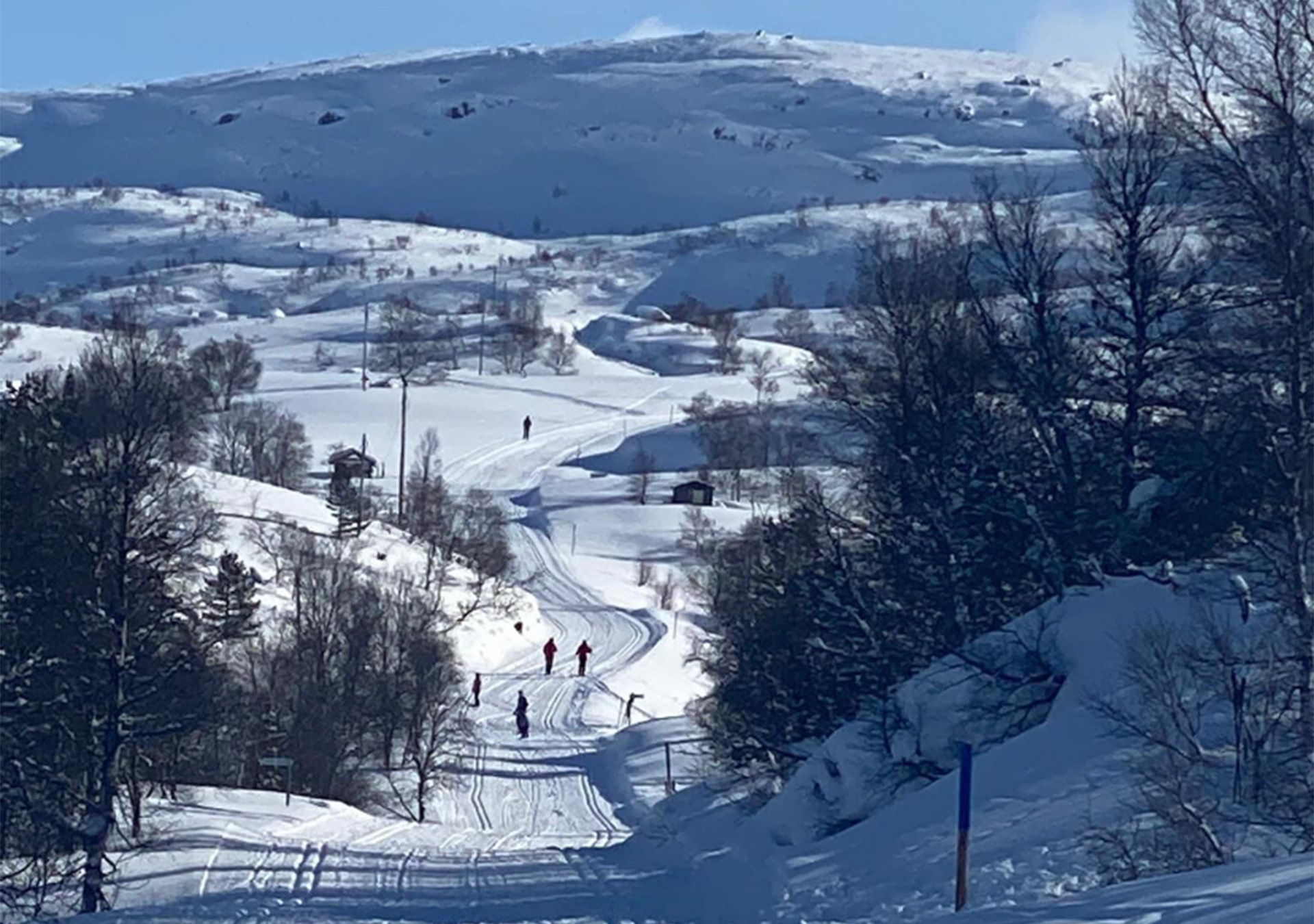
Solheimsdalen is a side valley that runs off Sirdal valley and stretches approximately 7 kilometers eastwards from Tjørhom. From Stavanger, it takes approximately 1.5 hours by car to get to Solheimsdalen valley. There are approximately 500 holiday cabins in the area and many people visit during both summer and winter. Solheimsdalen valley is a central starting point for trips to Kvinen tourist cabin (9 km) and the southern parts of Setesdal Vesthei-Ryfylkeheiane Protected Landscape.

Langeid
Langeid is located on the Rv 9 road in Bygland Municipality. It takes approximately 2 hours by car to get to Langeid from Arendal and Kristiansand. Langeid is an important approach to the southeastern parts of Setesdal Vesthei-Ryfylkeheiane Protected Landscape and the Norwegian Trekking Association-South’s cabins at Tjønndalen (7 km) and Gaukhei (20 km). This area offers visitors a beautiful mountain farming landscape and vast heathland.
Ljosland
Ljosland is located in the north of Åseral Municipality, approximately 22 km from the municipal center of Kyrkjebygd. There are approximately 500 private cabins at Ljosland and it is therefore a busy area during both summer and winter. There is also a ski lift and groomed ski trails. It takes about 1.5 hours by car to get to the area from Kristiansand and Mandal. For many people who live along the coast between Lyngdal and Arendal, Ljosland and Bortelid are two of the nearest approaches to Setesdal Vesthei Ryfylkeheiane Protected Landscape and the trekking association’s trail network. There are waymarked trails leading from Ljosland to Lakkenstova (5 km) and Gaukhei (9 km).
Bortelid
Bortelid is located in the north of Åseral Municipality, approximately 27 km from the municipal center of Kyrkjebygd. It takes about 1.5 hours by car to get to the area from Kristiansand and Mandal. For many people who live along the coast between Lyngdal and Arendal, Ljosland and Bortelid are two of the nearest approaches to Setesdal Vesthei Ryfylkeheiane Protected Landscape and the trekking association’s trail network. There are waymarked trails leading from Bortelid to Gaukhei (17 km). There are approximately 1500 private cabins at Bortelid and it is therefore a busy area throughout the year. Bortelid has a ski lift, lighted ski trails and a large summer and winter trail network.
Knaben
Knaben is a small village in Kvinesdal Municipality, approximately 25 km north of the Rv 44 road at Kvinlog. It takes approximately 2 hours by car to get to Knaben from Kristiansand or Stavanger. Knaben is a popular resort all year round and has ski lifts, ski trails and many hiking trails. There are also around 500 private cabins in the area. Knaben also has a very interesting history of mining. Knaben is the central approach to the southern parts of Setesdal Vesthei-Ryfylkeheiane Protected Landscape, and a nice place to start if you would like to experience the distinctive landscape found in these hills. The lean-to shelters at Bergetjørn lake are a popular destination which you can visit on a 7 km long round trip from Knaben. During the winter, a groomed ski trail leads to Knaberøysa on the border with Åseral.
