Setesdal Vesthei – Ryfylkeheiane Protected Landscape
The SVR Protected Area Board is the administrative authority for a total of 17 large and small protected areas. These are divided into 7 protected landscapes, 2 biotope protection areas and 8 nature reserves that were established between 1986 and 2019. The 17 protected areas have a combined area of 3566 square kilometers and form the second largest interconnected area in the country that is under protection.
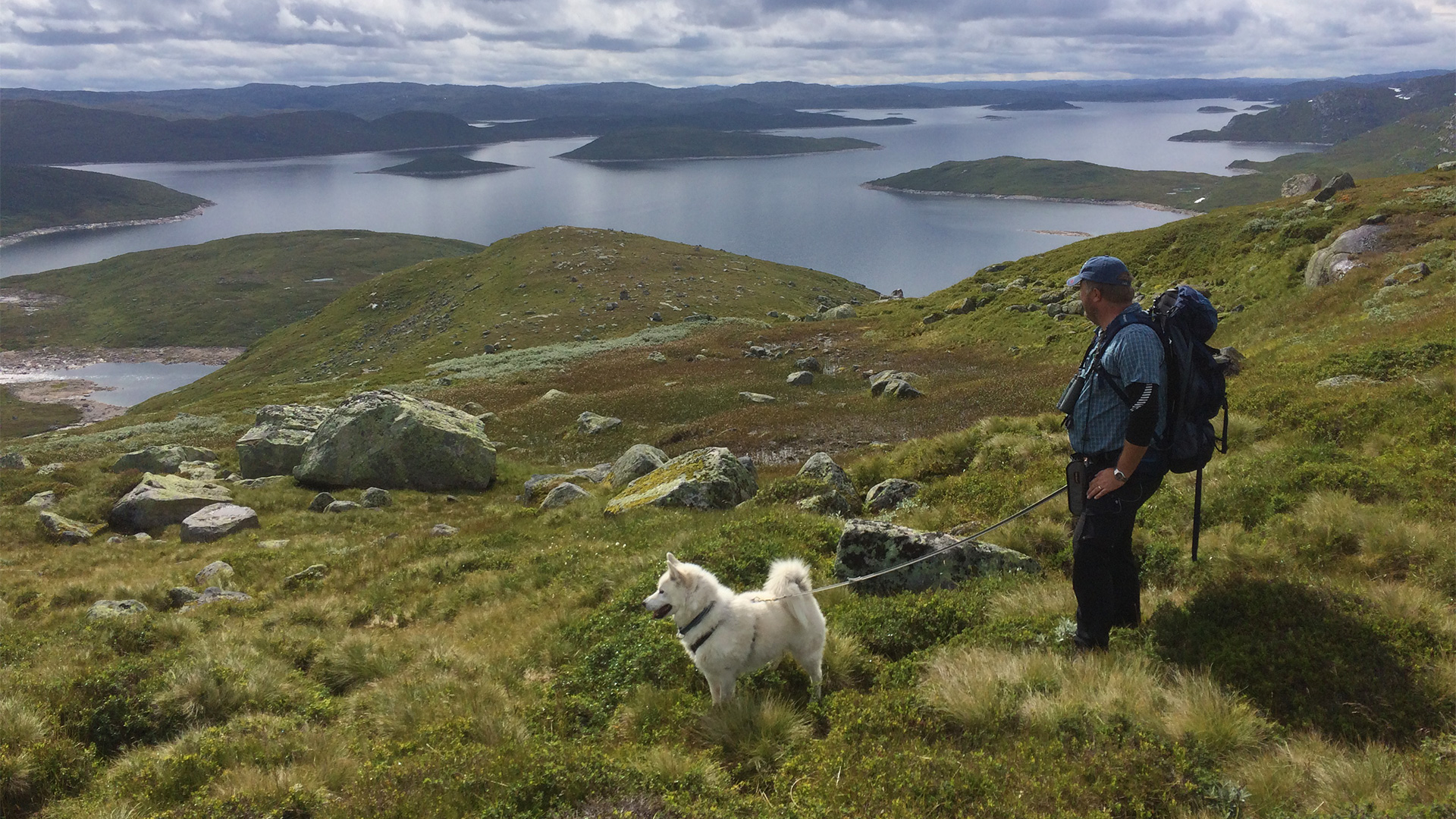
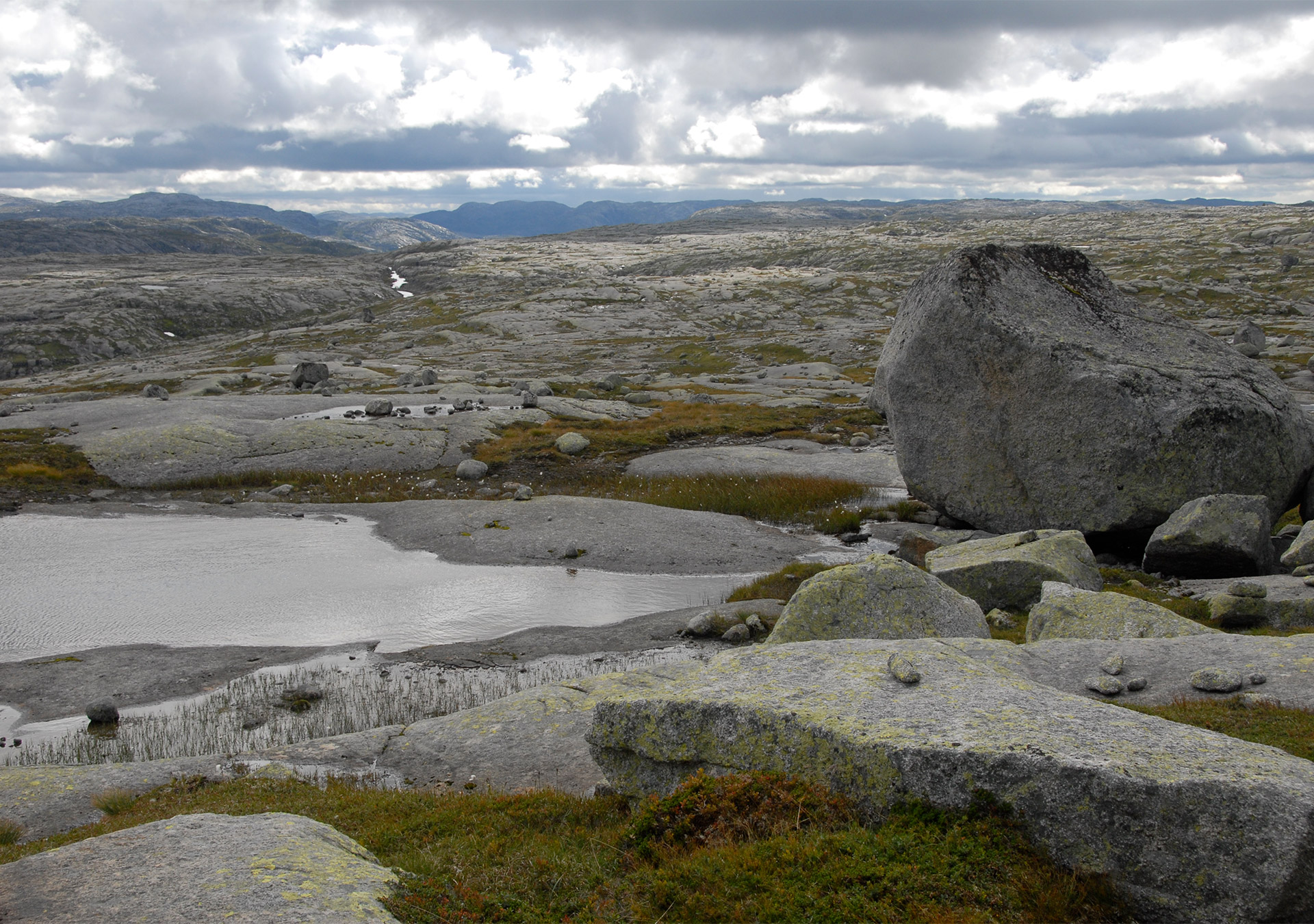
Lusaheia Protected Landscape
Lusaheia Protected Landscape is located furthest east in Hjelmeland Municipality, and stretches all the way to the border with Agder County. The protected area is 122 km² and was established in 1991. Much of Lusaheia is a high mountain plateau that lies between 1000 and 1100 meters above sea level. The ice has done a thorough job here and has left behind a landscape comprising of many bare mountains that are littered in many places with glacial erratic blocks of different sizes. The name Lusaheia most likely originates from this characteristic natural phenomenon. The green and lush Storådalen valley divides the mountainous area in two, and forms an exciting contrast to the rest of the protected area. Storådalen valley runs in a northeasterly direction from Nilsebuvatnet lake, and the valley floor lies at about 800 meters above sea level.
Vormedalsheia Protected Landscape
Vormedalsheia Protected Landscape is located to the south of the inner parts of Jøsenfjorden in Hjelmeland Municipality. The protected landscape stretches from the shoreline in Jøsenfjorden and the valley floor in Førre, through steep forested hills and all the way up to the mountainous area at Brendeknutane, 1135 meters above sea level. The protected area is 120 km² and was established in 1991.

Hovden Protected Landscape
Hovden Protected Landscape is located in Bykle Municipality in the northernmost part of Setesdal valley. The protected area is 59 km² and is therefore the smallest protected landscape in SVR. Hovden Protected Landscape lies very close to the large cabin area at Hovden and is an important recreation area. The protected area is home to Galten mountain (1450 meters above sea level) which is a popular hiking destination. Hovden Protected Landscape is one of the few mountainous areas in Agder that has typical mountain plateau characteristics.

Kvanndalen Protected Landscape
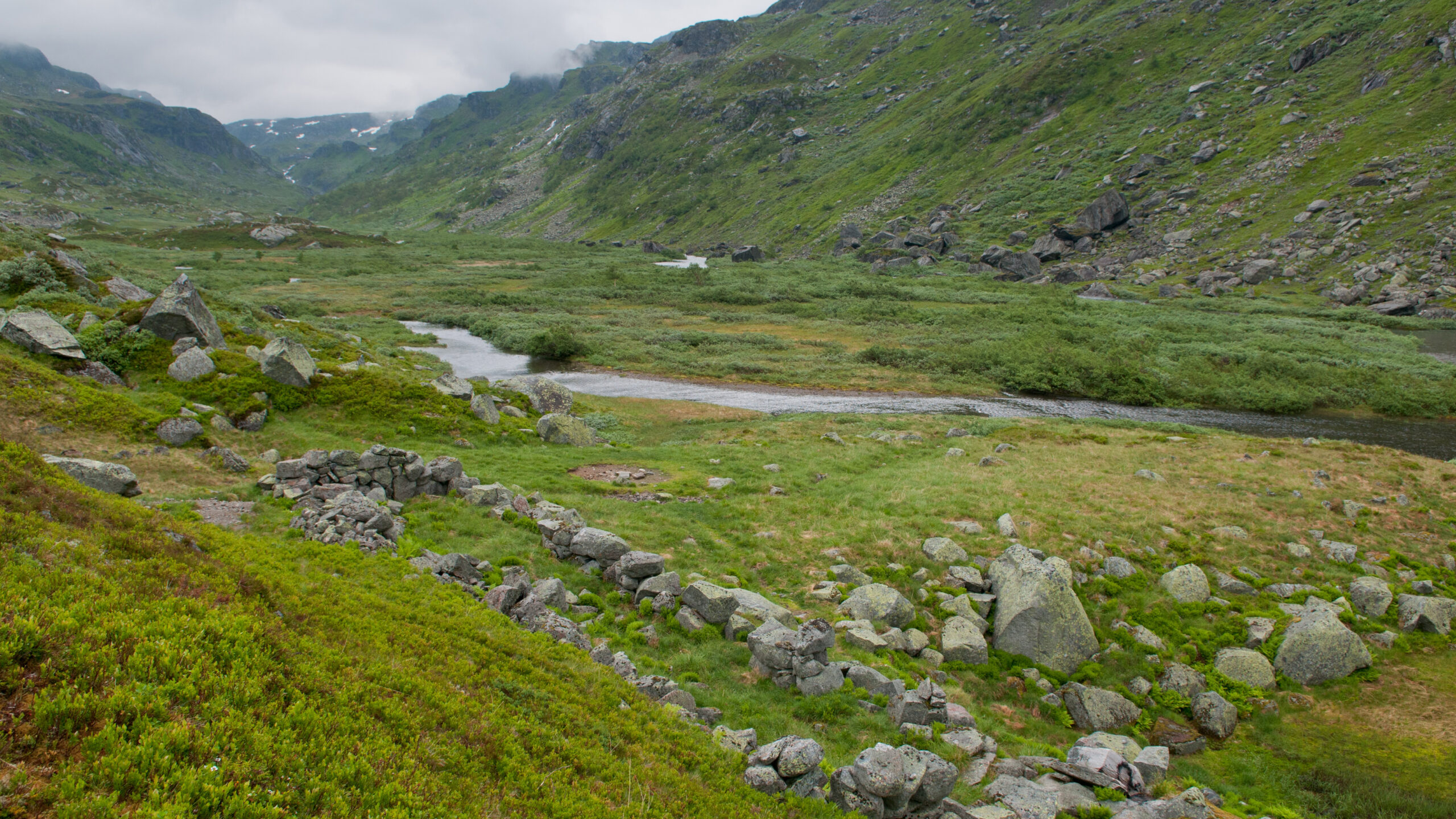
Kvanndalen Protected Landscape is located in the north of Suldal Municipality on the border with Vestland and Telemark and Vestfold counties. The protected area is 84 km² and is the second smallest protected landscape in SVR. Although Kvanndalen valley is a natural focal point, Kvanndalen Protected Landscape is home to much more than just the valley that gives its name to the area. It is a place where we also find Rogaland County’s three highest mountains (the highest being Vassdalsegga towering at 1658 meters above sea level), rich flora, important migratory routes for wild reindeer and many cultural monuments in connection with traffic/travel, summer mountain farming and wild reindeer trapping.
Dyraheio Protected Landscape
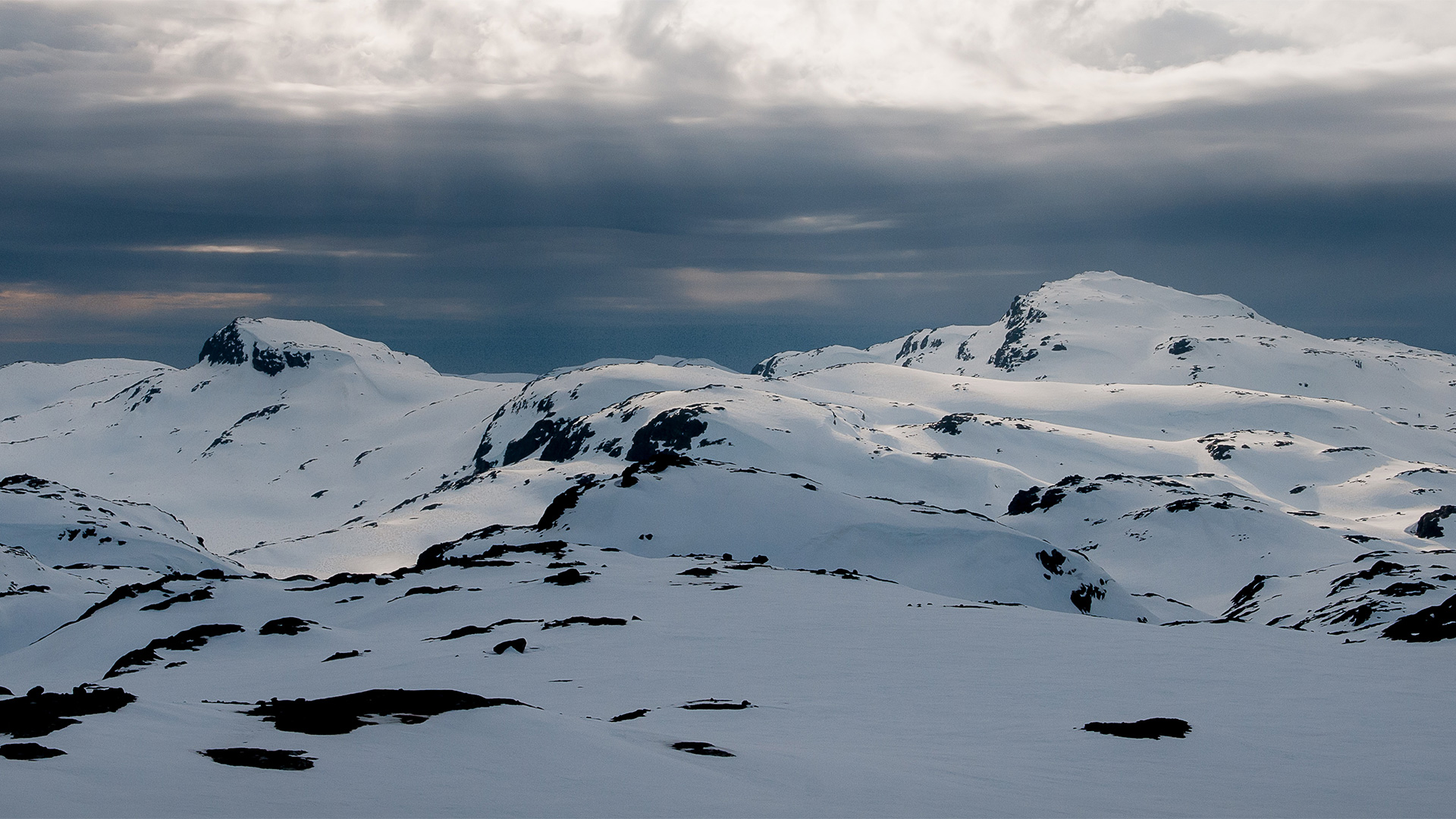
The wild mountains was the name given by the first hikers to this inaccessible and wild mountainous area between Suldal and Bykle. The locals called it something rather less dramatic. For them, the area had been a place where they could supplement their diet with reindeer meat, and the name Dyraheio (animal hills) must have been a natural choice. Wild reindeer hunting was important in these areas, and the ‘animals’ in the name must have referred to wild reindeer. Dyraheio Protected Landscape was protected in 1997. It is located in Suldal Municipality and has an area of 307 km².
Frafjordheiane Protected Landscape
In Frafjordheiane Protected Landscape, visitors will encounter a concentrated version of Western Norway’s beautiful and dramatic nature. You will find deep fjords, mighty mountains, high waterfalls and green valleys. Frafjordheiane Protected Landscape stretches from Lysefjorden in the north to Frafjord and Østebødalen valley in the south. The protected area stretches across the three municipalities of Sandnes, Gjesdal and Sirdal. Frafjordheiane was established in 2003 and has an area of 418 km².

Holmavassåno Biotope Protection Area
The Holmavassåno Biotope Protection Area mainly covers the area between Sandvatnet lake and Holmavatnet lake, in the northeastern part of Suldal Municipality. The biotope protection area therefore acts as a link and a corridor between the Setesdal Vesthei – Ryfylkeheiane and Dyraheio protected landscapes in the south and in the east, and Kvanndalen Protected Landscape in the west. Holmavassåno was established in 1997 and has an area of 23 km².
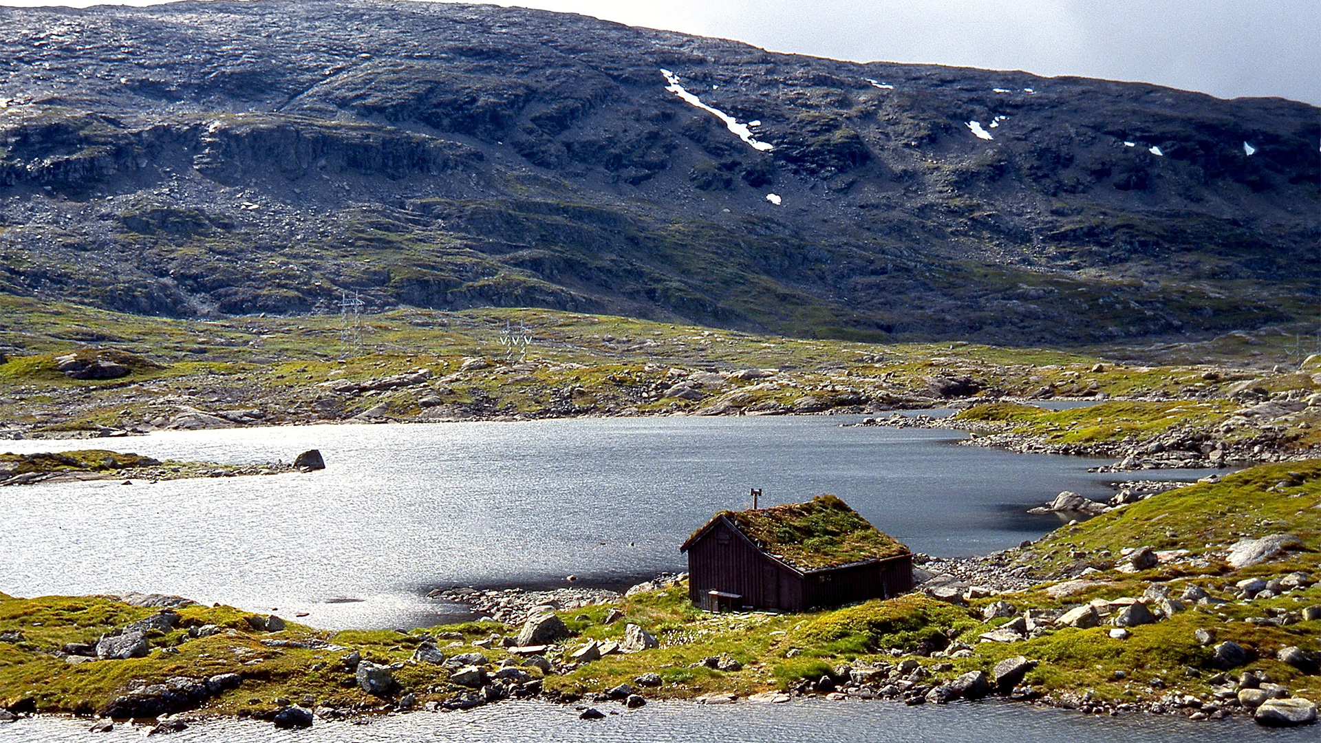
Steinsbuskardet – Hisdal Biotope Protection Area
Modern and ancient times meet in dramatic fashion in Steinsbuskardet – Hisdal Biotope Protection Area. The valley between Botsvatn lake and Storevassdammen in Bykle cuts its way through a landscape of towering peaks on either side. There are traces of pitfall traps and abandoned farms. In addition, two large power lines and the dam called Storevassdammen are evidence that this area is currently important for energy production.
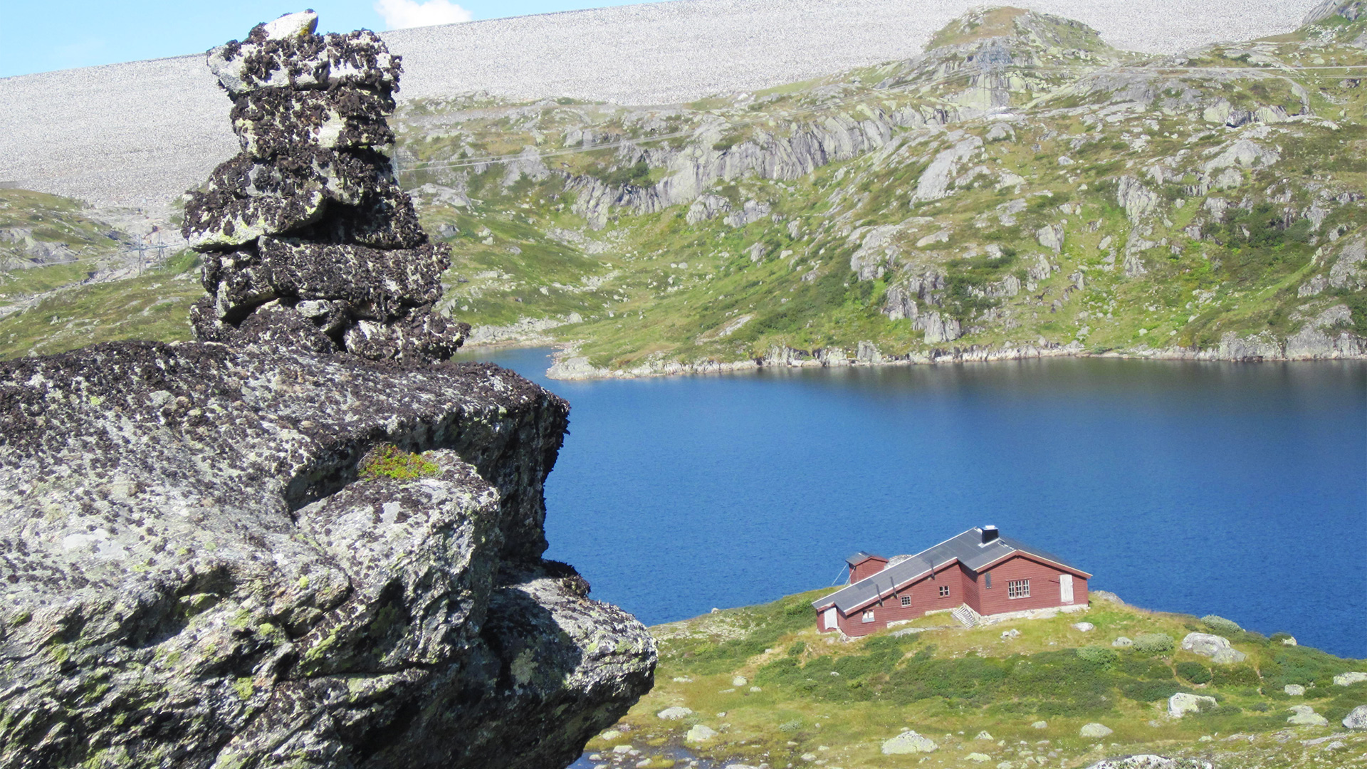
Hisdal Nature Reserve
Hisdal Nature Reserve is home to a calving area for wild reindeer and the remains of giant pine forests. Here, visitors will find wild mountain valleys and Store Hisdal mountain farm that still has its farmyard and buildings. The nature reserve was protected in 2008 and has an area of 16 km2. Apart from a power line that runs through the area, mountain farms and the old cultivated fields that surrounds them, the main impression is that this area has hardly been influenced by humans.
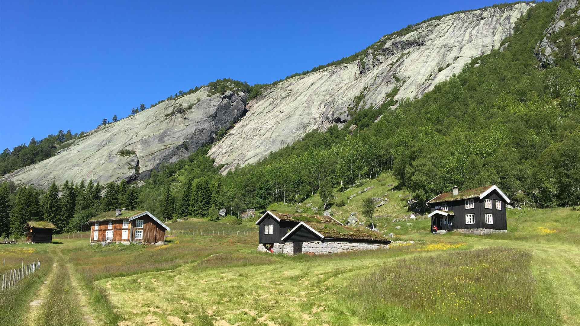
Lislevatn Nature Reserve
Lislevatn Nature Reserve is located in Bykle Municipality in the northernmost part of Setesdal. The area was protected in 1982 and has an area of 1 km2. Approximately half of this is covered by water. Lislevatn Nature Reserve is small in area, but it has a rich plant life, wildlife and birdlife that rely on the wetland area in and around the lake. The Otra river has formed a river delta of sand and gravel to the northeast.
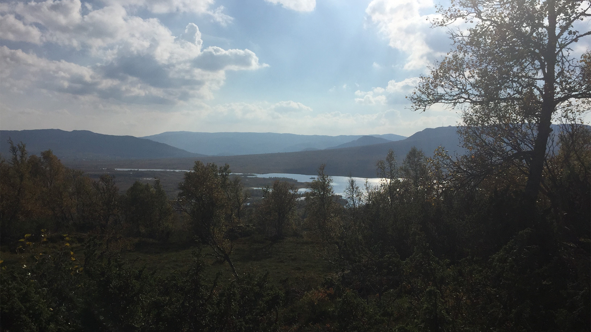
Vidmyr Nature Reserve
Vidmyr Nature Reserve is located on the western side of the Otra river at Hovden in Bykle Municipality. Vidmyr means ‘wide marsh’, and there is good reason why it has been given this name. Together with the marshland area in Hovden Protected Landscape, Vidmyr is one of the largest contiguous marshland areas in the region. With an area of 9.7 km2, Vidmyr is one of the larger nature reserves. Historically, Vidmyr has been particularly important as hay fields and grazing pasture for livestock. Here, visitors will find many distinctive plant species adapted to the area that have been grazed and used to make hay. A smaller area in the south-west of the nature reserve continues to be cut in order to protect these species of plant.

Øyastøl Nature Reserve
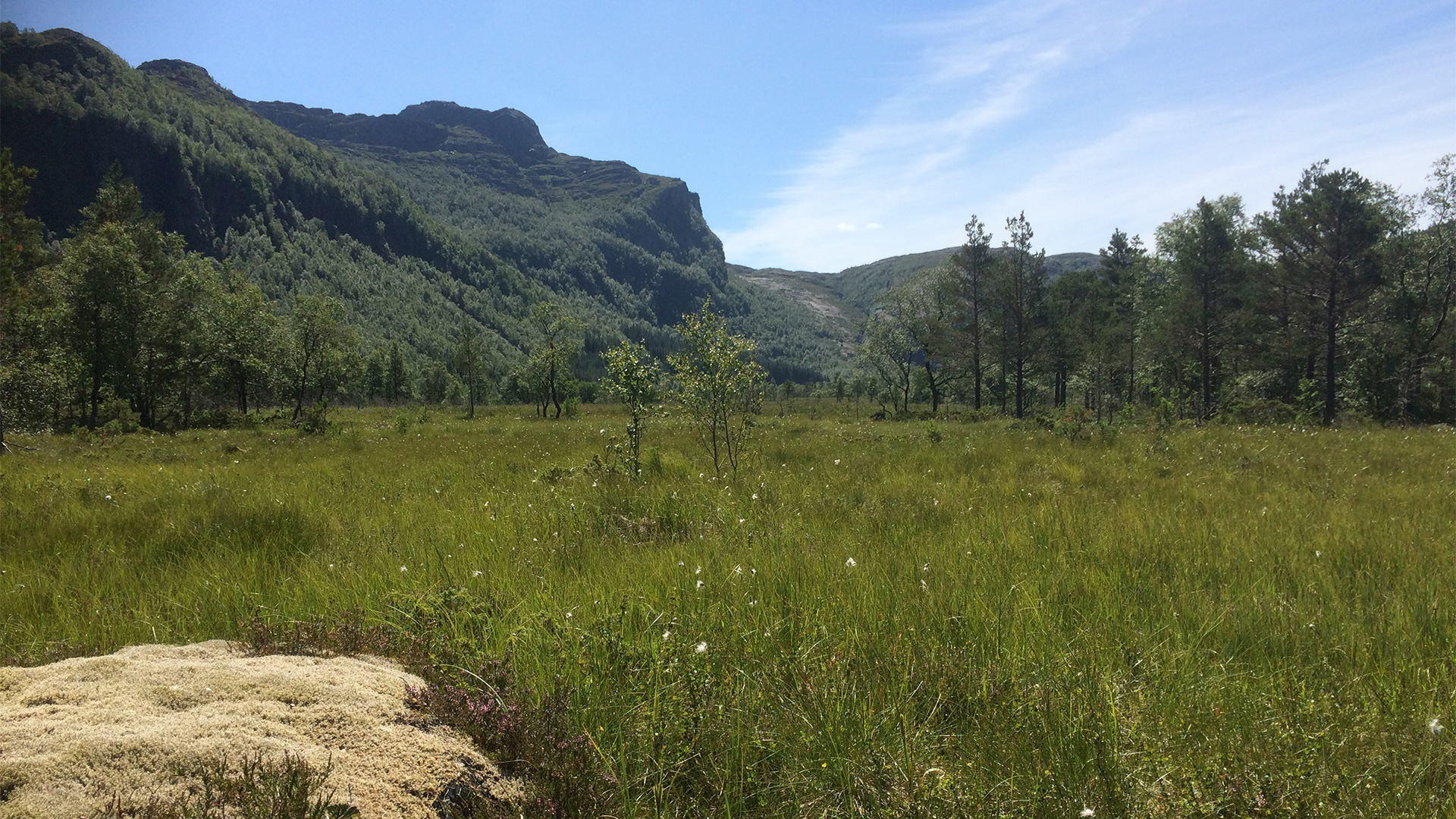
Øyastøl is a very beautiful area that offers great experiences. The protected area consists of marshland that is located north of Kleivaland Farm in Hjelmeland Municipality. The nature reserve was established in 1986 and has an area of 0.33 km². Øyastølsmyra is a marsh that used to be cut in order to make hay. It lies 420 meters above sea level. The marsh still has rich vegetation and people are actively maintaining it in order to preserve the open landscape. The Ritland Crater, fossil-rich layers of shale and Vormedalsheia Protected Landscape are all located close to Øyastøl.
Ørestø Nature Reserve
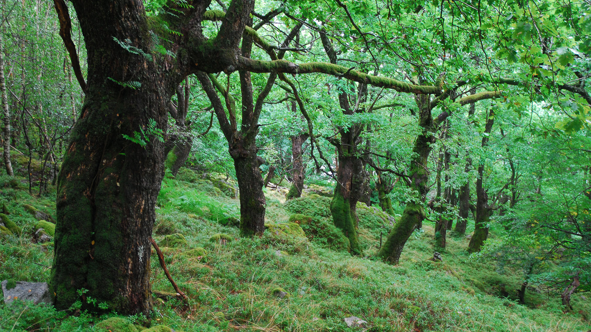
Visitors can experience great biodiversity in Ørestø. The protected area is a steep, south-facing forested hillside that stretches up from Frafjord in Gjesdal Municipality. The nature reserve was established in 2003, has an area of 0.728 km2, and stretches from the fjord up to approximately 690 meters above sea level. Quite a lot of deciduous forest grows in Ørestø, and several types of rare, heat-loving and nutrient-demanding vascular plants, mosses and lichens can be found there. Large parts of Ørestø share a border with Frafjordheiane Protected Landscape.
Nordraheia Nature Reserve
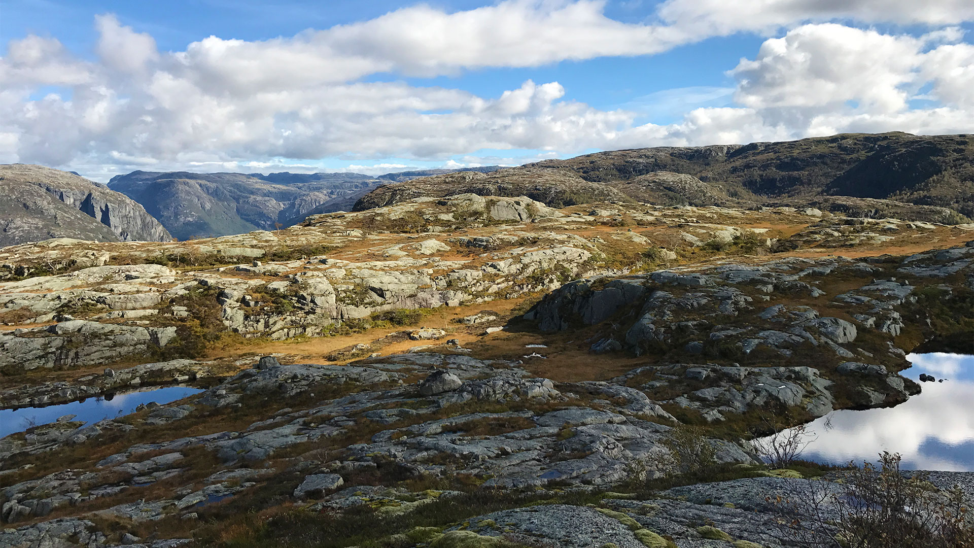
At Nordraheia, visitors will find a diverse forested area with almost no technical encroachments. The protected area is located on the southern side of Jøsenfjorden in Hjelmeland Municipality, and stretches from the fjord up over Nordraheia towards Kaldavatnet lake. Reinsrumpa is the highest point at 693 meters above sea level. The protected area was first established in 1999 and given the name Nordstølhei Nature Reserve. In 2019, the protected area was expanded towards the east and included parts of Vormedalsheia Protected Landscape. As a result, it changed its name to Nordraheia Nature Reserve. The protected area has a combined area of 17.8 km².
Migaren Nature Reserve
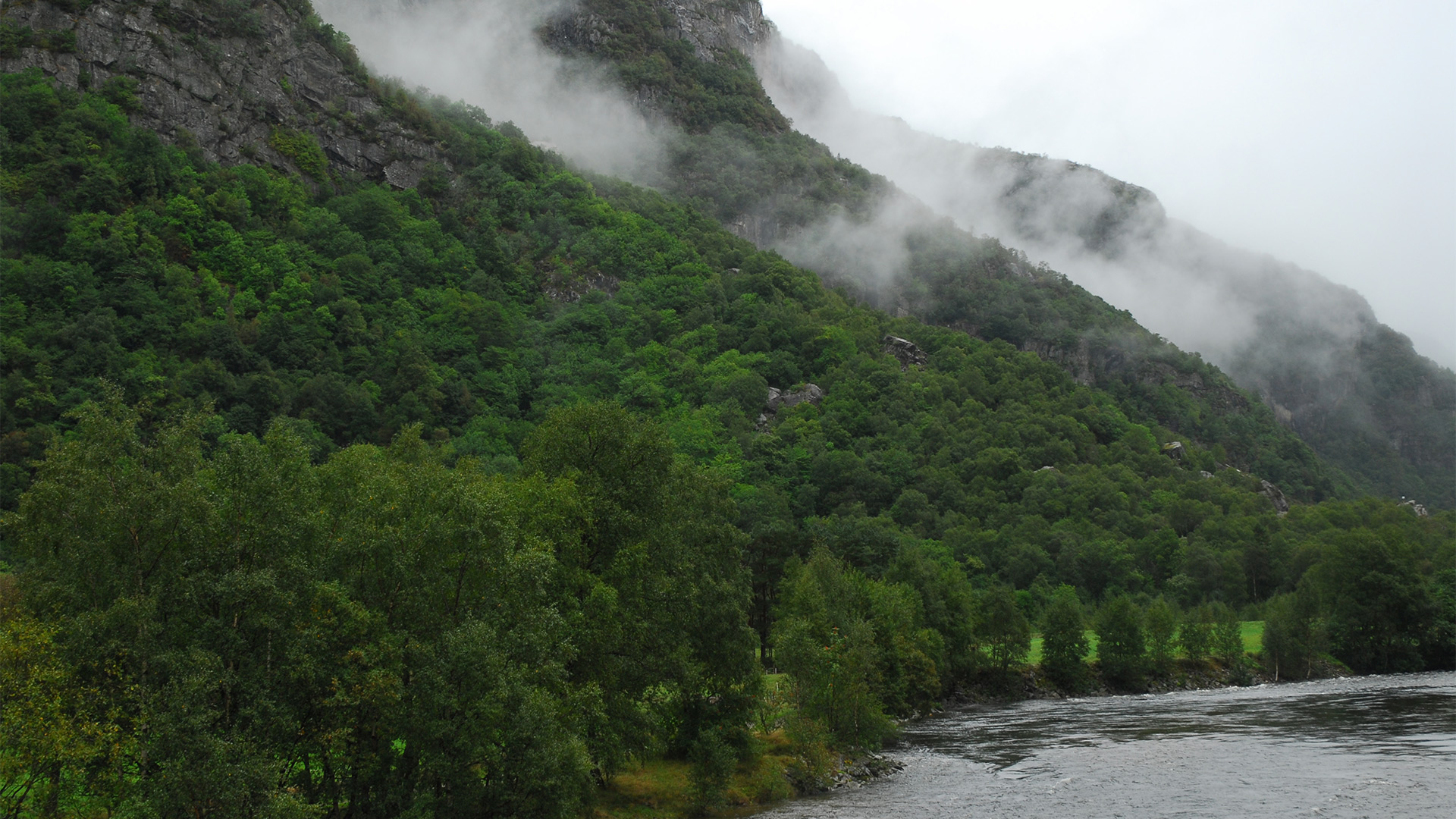
Visitors can experience great biodiversity in Migaren. The protected area is a steep, south-facing hillside that stretches up from Frafjord in Gjesdal Municipality. The nature reserve was established in 2003, has an area of 0.523 km2, and stretches from the valley floor and Molaugsvatnet lake at 26 masl up to approximately 570 masl. A lot of deciduous forest grows in Migaren, and several types of rare, heat-loving and nutrient-demanding vascular plants, mosses and lichens can be found there. Large parts of Migaren share a border with Frafjordheiane Protected Landscape.
Ljosådalen Nature Reserve
Ljosådalen Nature Reserve is a forested area in Ljosådalen valley located in the north-west of Valle Municipality. It was voluntarily protected as a nature reserve by royal decree on 11 December 2015. The nature reserve covers a total area of approximately 37.9 km2 and shares borders with Setesdal Vesthei and Ryfylkeheiane Protected Landscape and Hisdal Nature Reserve. The area stretches westwards on both sides of the Ljosåni river towards Ljosåvatnet lake and Rjuven. Voilenuten is the highest mountain in the area standing at 1343 meters above sea level. Ljosådalen Nature Reserve is the largest reserve in the SVR management area. Old pine forests and particularly important calving grounds for wild reindeer are two important reasons why the area gained its protected status.

Management
The Protected Area Board for SVR is the administrative authority for the 17 protected areas that are presented on this website. The protected areas are divided into 7 landscape protection areas, 2 biotope protection areas and 8 nature reserves that were established between 1986 and 2019. The Protected Area Board also has an administrative website.

